|
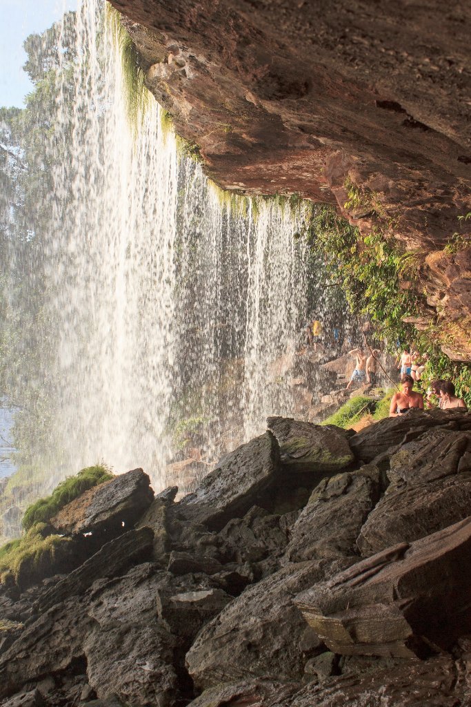 |
| Behind the Salto Hacha | |
| Latitude: N 6°15'2,01" | Longitude: W 62°50'46,42" | Altitude: 417 metres | Location: Curatabaca | State/Province: Estado Bolívar | Country: Venezuela | Copyright: Ron Harkink | See map | |
| Total images: 70 | Help | |
|
|
|
| Behind the Salto Hacha | |
| Latitude: N 6°15'2,01" | Longitude: W 62°50'46,42" | Altitude: 417 metres | Location: Curatabaca | State/Province: Estado Bolívar | Country: Venezuela | Copyright: Ron Harkink | See map | |
| Total images: 70 | Help | |